Bikepacking - SnF reverse day 4
bikepacking
Day 4: Ice Springs Campground to home
I had set my alarm for five-something, but it was still pitch dark when I woke up and the moon was still out so I decided to sleep in a bit more. I got moving a little after 6:00 and made some coffee and oatmeal. I got packed up, filtered some water, and was rolling around 7:15.
I had ridden this exact section last year on the way home from my “Smoke and Fire in Paradise” trip to Atlanta and Trinity Lakes. So I knew what was ahead and honestly, wasn’t looking forward to it.
I made it to the Y Stop around 8:30 and I figured, correctly as it turned out, that they’d be closed. So no pick-me-ups there. I put on some Dinosaur Jr and did my best to get over the dusty climbs, making my way closer and closer to Boise. No doubt, there are some really scenic areas on this part of the route, but it’s open and hot and generally not my favorite place to be riding in August.
The last real challenge was the final little climb up to Bonneville Point, which is always a ball-breaker. I finally made it and decided to just ride the rocky singletrack to Lucky Peak rather than try to skirt around it on the Oregon Trail section like I did last year. Thankfully I made it without falling or getting bit by a rattlesnake. Ugh, that part is horrible.
I filled a couple bottles at the Lucky Peak park and braved the headwind on the greenbelt path next to the river and Highway 21. The greenbelt was closed, of course, by Marianne Williams park, just like it was a month or more ago. The detour sign was still there. And the follow-up detour signs to guide you through the labyrinth of paths toward downtown were also still not there. But I kind of knew how to do it so I felt my way through and ended up at Boise State. So it was autopilot after that.
I arrived at home right at 14:00, so I felt like I made pretty good time. I think it’s probably faster to go from Ice Springs to Boise than the other direction, but I haven’t really analyzed the difference. At any rate, I was pretty smoked and was happy to be home, but also sad my trip was over.
- Distance: 68.4 miles
- Climbing: 4308 feet
- Highest point: 5985 feet
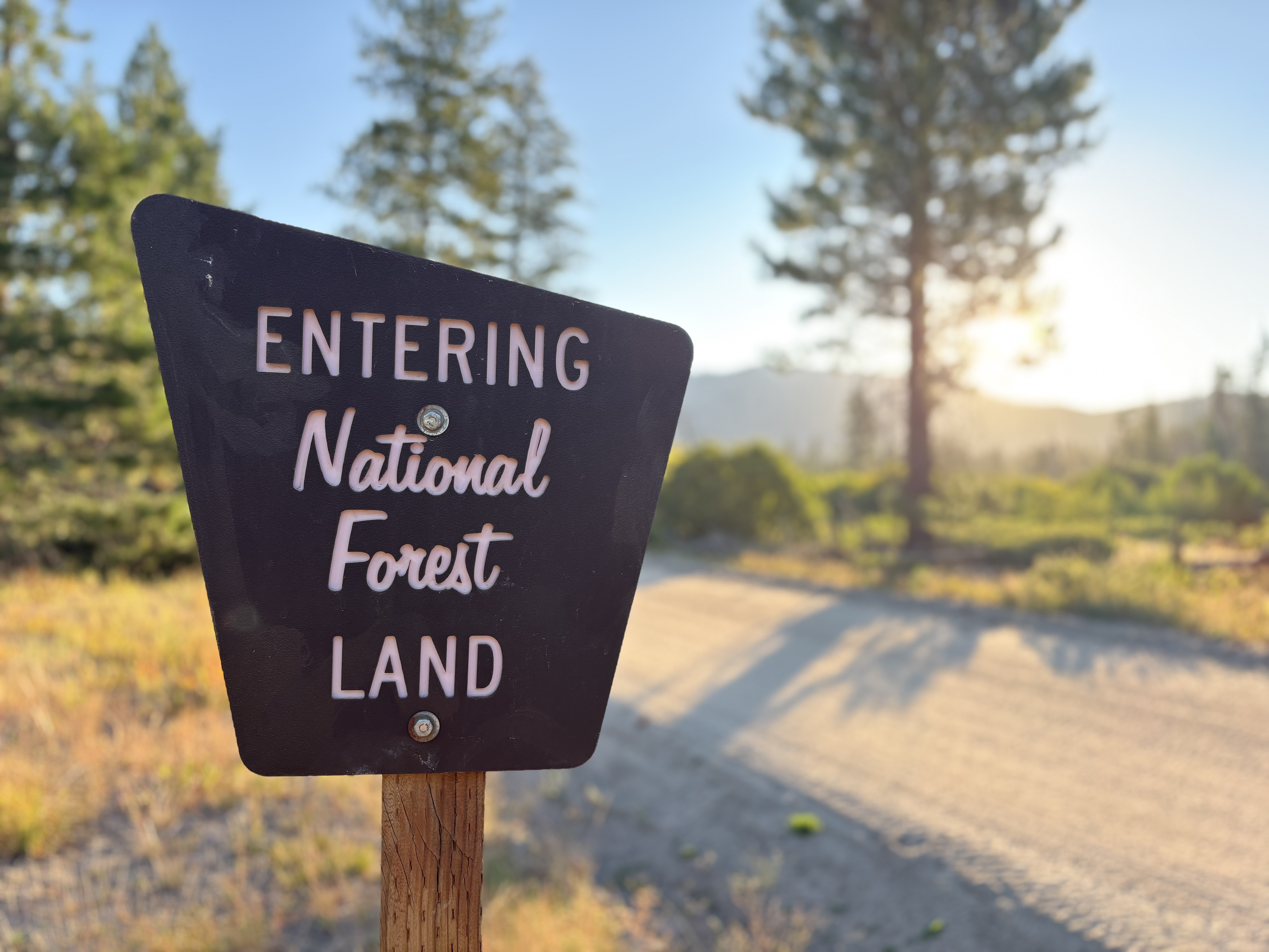 Thankful for our public lands
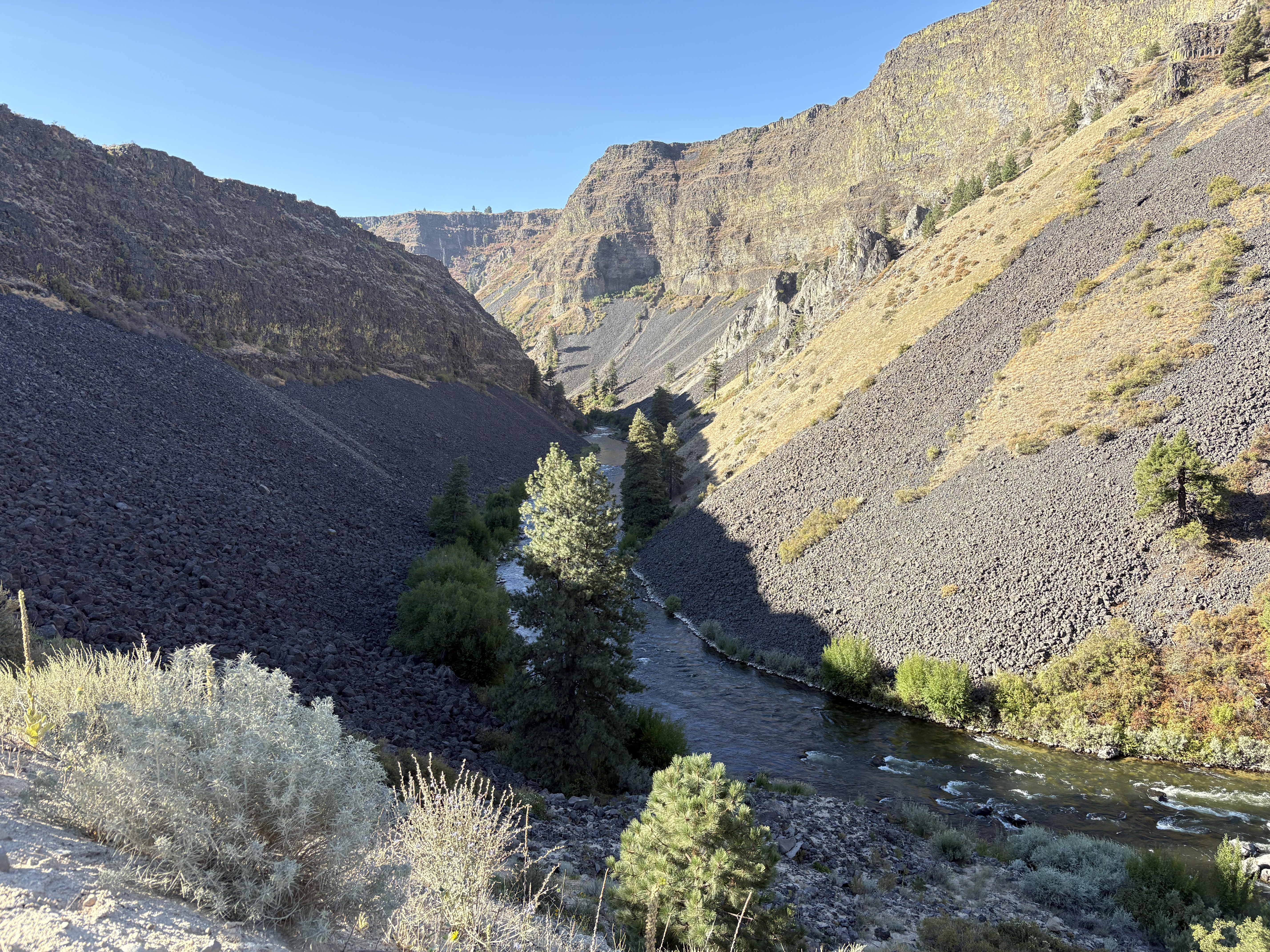 South Fork Boise River
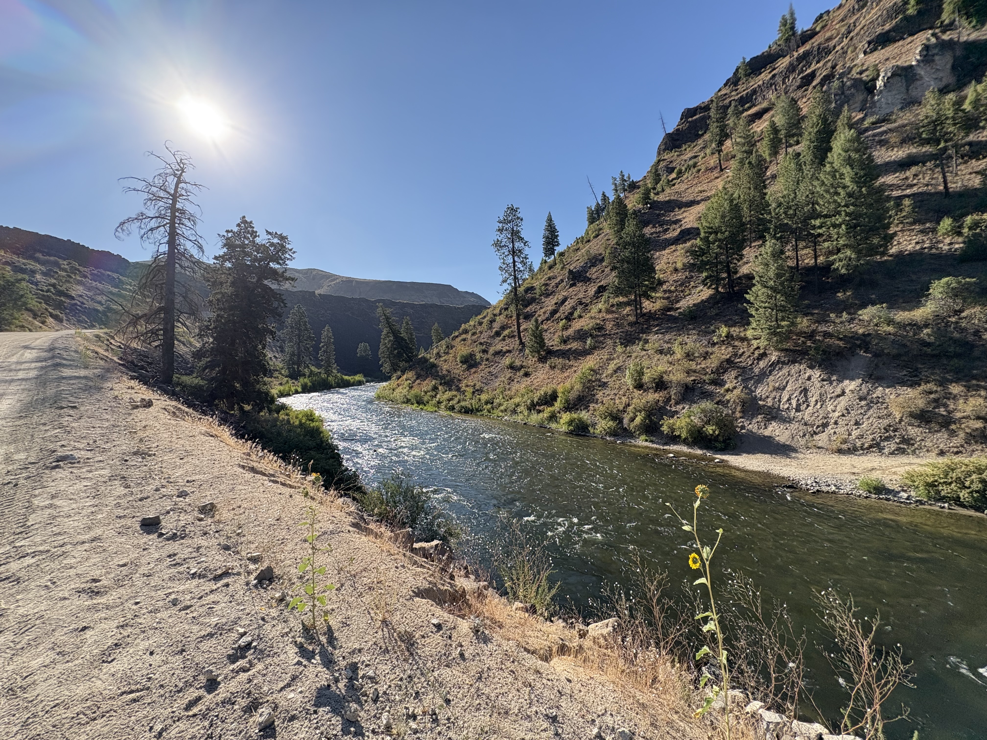 South Fork Boise River
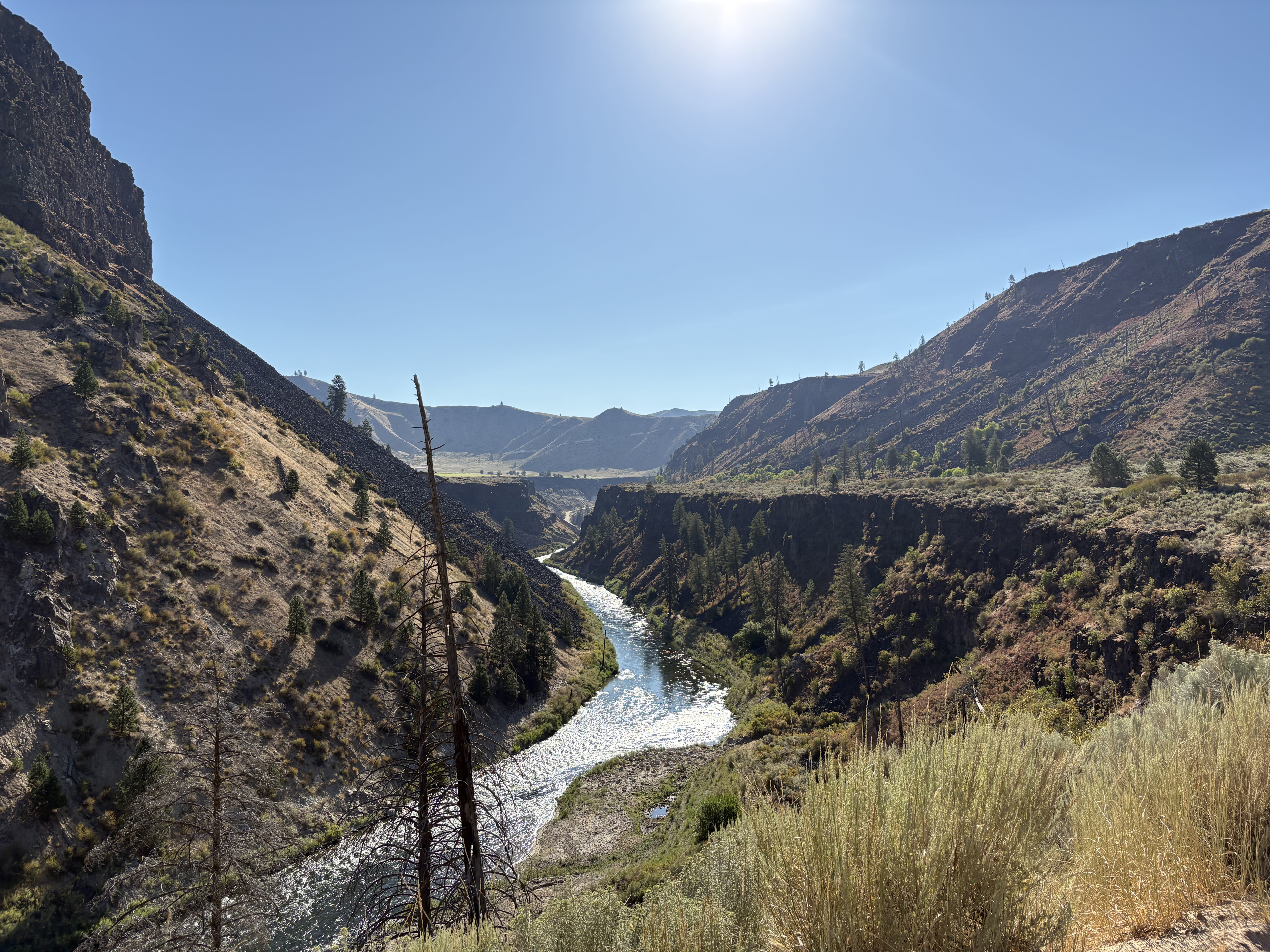 I take this same pic every time I’m here and it never gets old