Bikepacking - SnF reverse day 3
bikepacking
Day 3: Ketchum to Ice Springs Campground
I got up relatively early and went through my standard bikepacking breakfast/pack up routine. I stopped at the creek close to where I camped and topped off all my water stores before heading off to the queen climb of the trip, Dollar Hide. The ride from where I camped to the start of the climb was really pretty. The first part was shaded with trees and some cliffs then things opened up a bit more where most everything was burned. The elevation was high (7000+ feet for most of the climb) so that was taxing and I was going slow. But it was an enjoyable climb and I was kind of sad it was over.
Once you get over the top you get back into the trees. The downhill was steep and long, but not too precarious. You just have to really stay focused and pick your lines, etc. I could tell the temps were rising a lot was I was dropping down.
A guy on a horse who was herding cattle with a couple dogs yelled to me a couple miles after the bottom of the descent. He was wanting to know if I had seen any cattle on the descent. I told him I didn’t and we talked about moving cattle and wildlife for a few minutes before I kept moving. He mentioned that there were a lot of wolves in the area and indicated I should have a pistol on my hip at all times for protection. I know there are wolves in the area, but I’m not terribly afraid of them as I don’t think they are much of a threat to humans. I’m much more worried about humans, rattlesnakes, mountain lions, and bears (in that order).
Shortly after talking to the cowboy I came across the hot springs area Heidi and I stopped at in 2018. I checked it out a bit – the water felt amazing! – but didn’t get in as it was already getting a bit warm and I didn’t want to overheat myself.
My mid-day target was the Smokey Bar; I was hoping they had some type of “real” food there I could have for lunch. I think I had about 10 miles to get there. The road was mostly downhill a percent or two, which was nice. The road surface was really sandy, though, and got progressively sandier the closer I got to the Smokey Bar.
I got a cold Coke and a Gatorade, but unfortunately wasn’t able to get any food since they only had packaged stuff and I had plenty of that. (Man, some fries would have been nice!!) I had a nice chat with the owner, whom I had seen talk on the PBS documentary about the SnF race. She confirmed that the road was open to Featherville and said it had been completed in 2020.
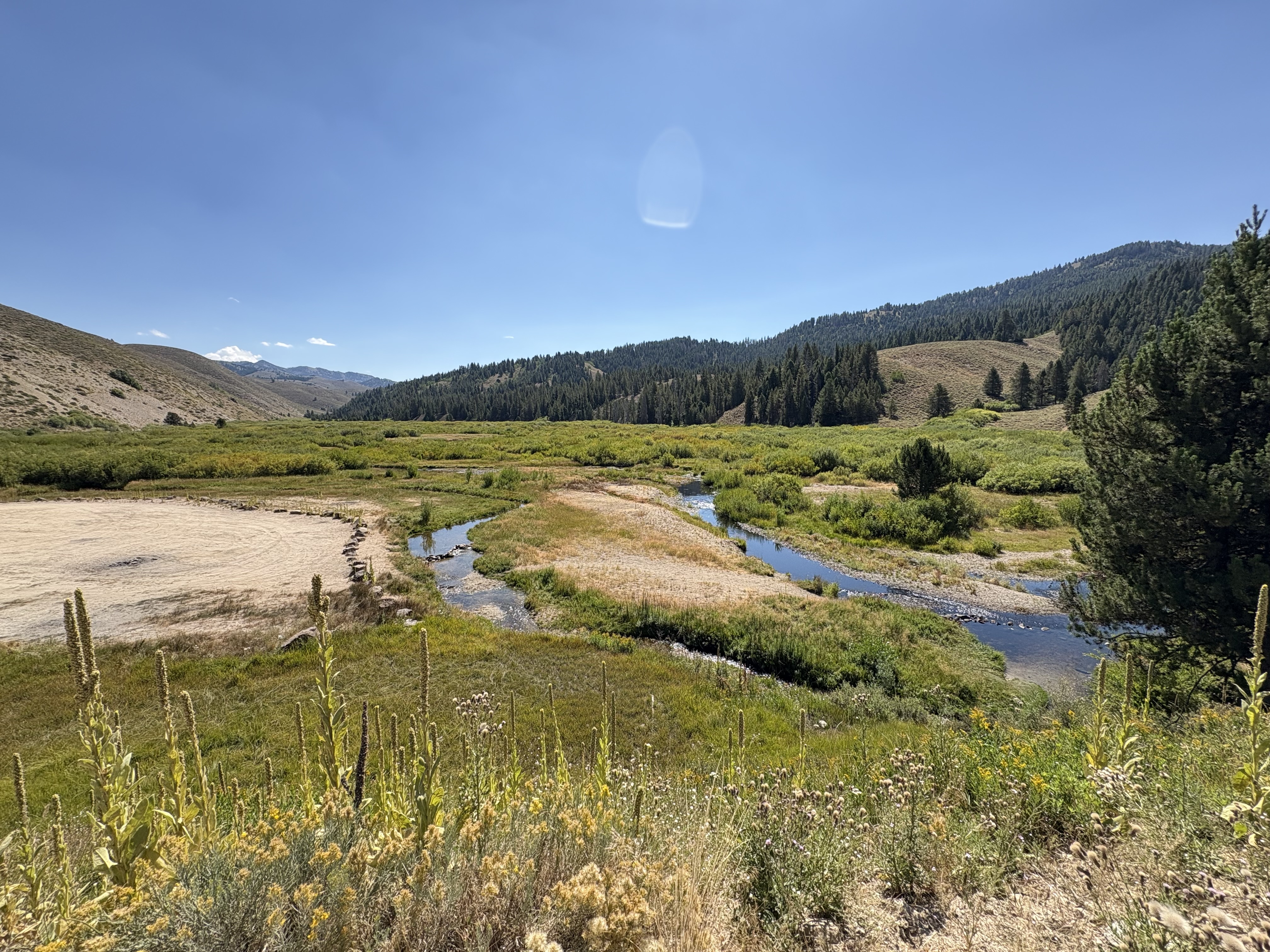
The section after Smokey Bar pretty much all the way to Featherville was probably the most scenic for the entire day. I think in 2018 I was so preoccupied with getting through the washed out sections safely that I didn’t really have an opportunity to appreciate how beautiful it was.
The route I had plotted had me skirt around Featherville on an ATV trail, which was kind of fun. I popped out on the highway and rode that to Pine where I stopped at the Pine Store for drinks (a spicy V8 and La Croix!) and some snacks. I calculated I had about 8-10 miles or so to Ice Springs, which is where I planned to camp. However, I was looking at the wrong spot on the map and it was more like 13+ miles. And there was a pretty significant climb along the way so that caught me by surprise. I was struggling in the late-afternoon heat and was barely able to turn the pedals on the steepest part of the climb. But I made it to the top and had a mile or two to go to the campground.
Unfortunately all the official spots at Ice Springs were occupied, but there is a large “overflow” area right next to it so I just found a suitable spot and set up camp. No table, again, so that sucked. But I had access to the creek, which was clear and cold. I filtered a bunch of water, made dinner, and tried to get some sleep. My plan was to get up as early as I could so I could beat the heat and get home at a reasonable time.
- Distance: 85.6 miles
- Climbing: 5394 feet
- Highest point: 8712 feet
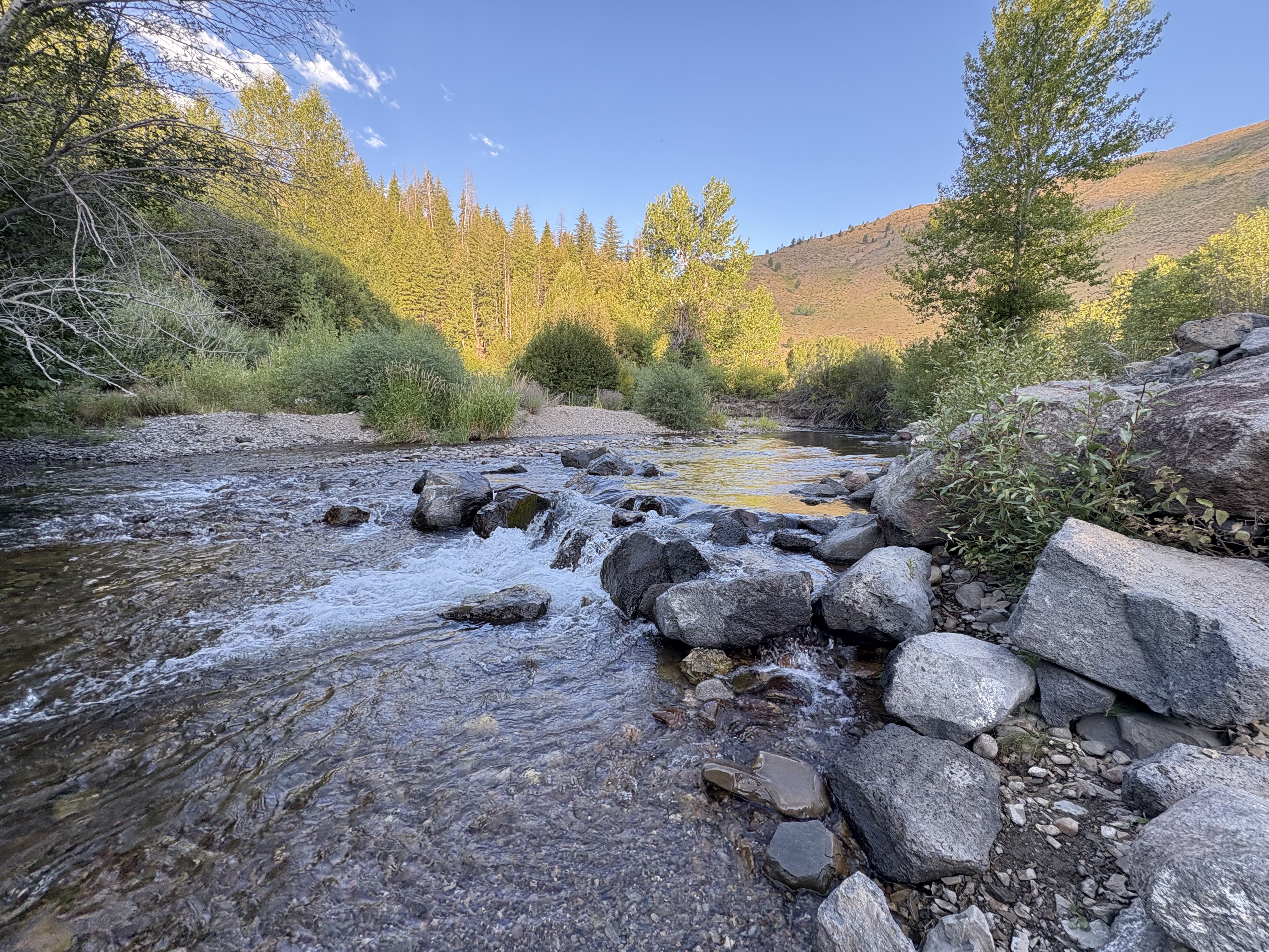 Morning filter spot
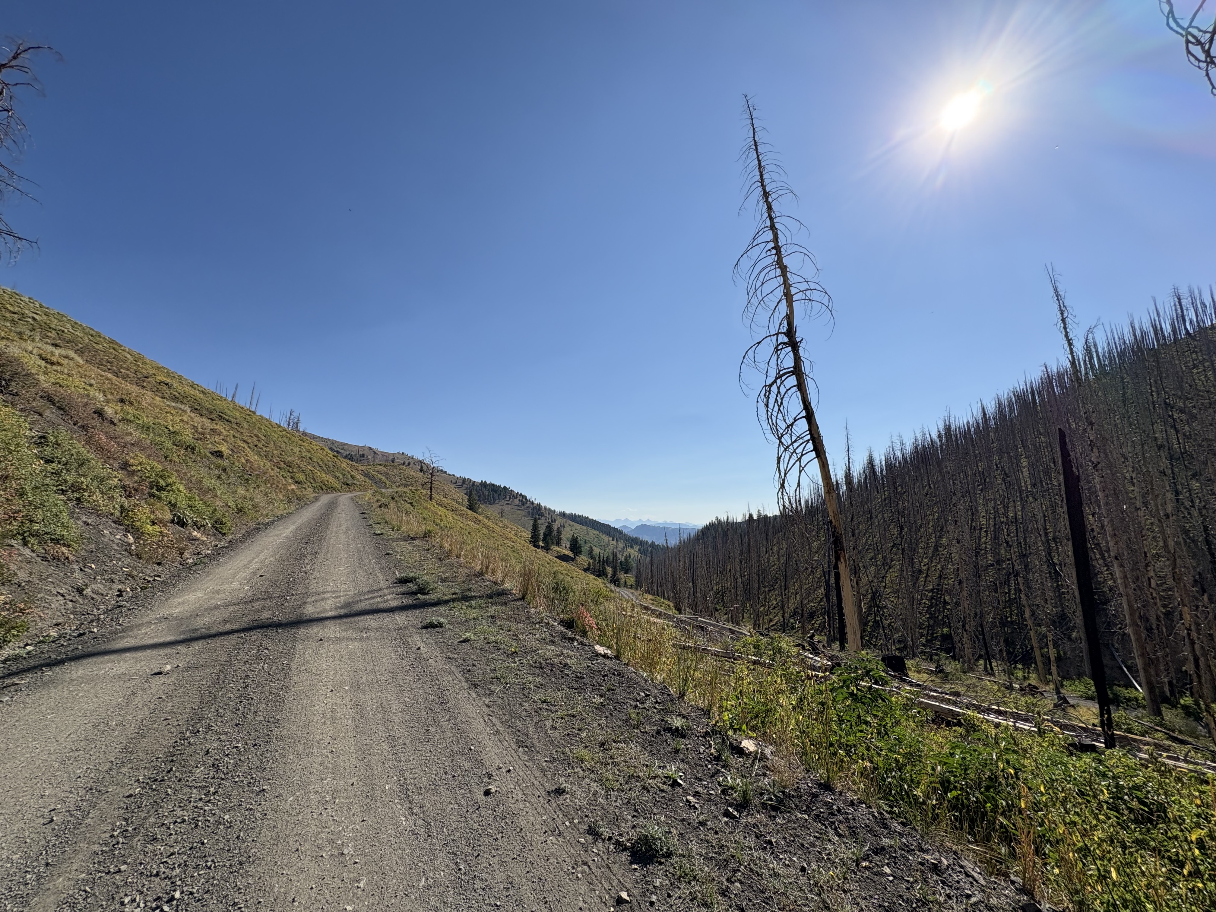 Climbing up Dollar Hide
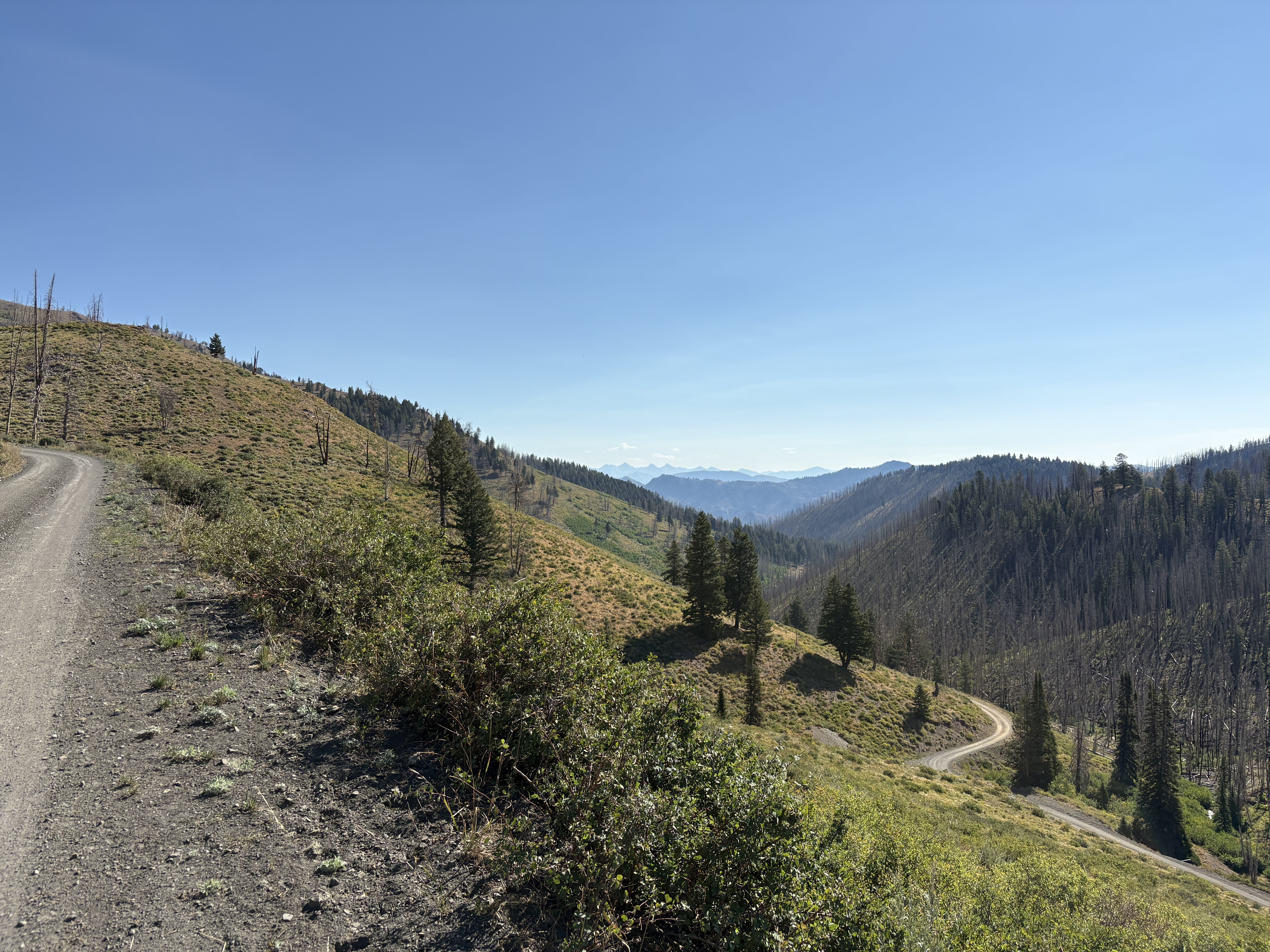 More climbing
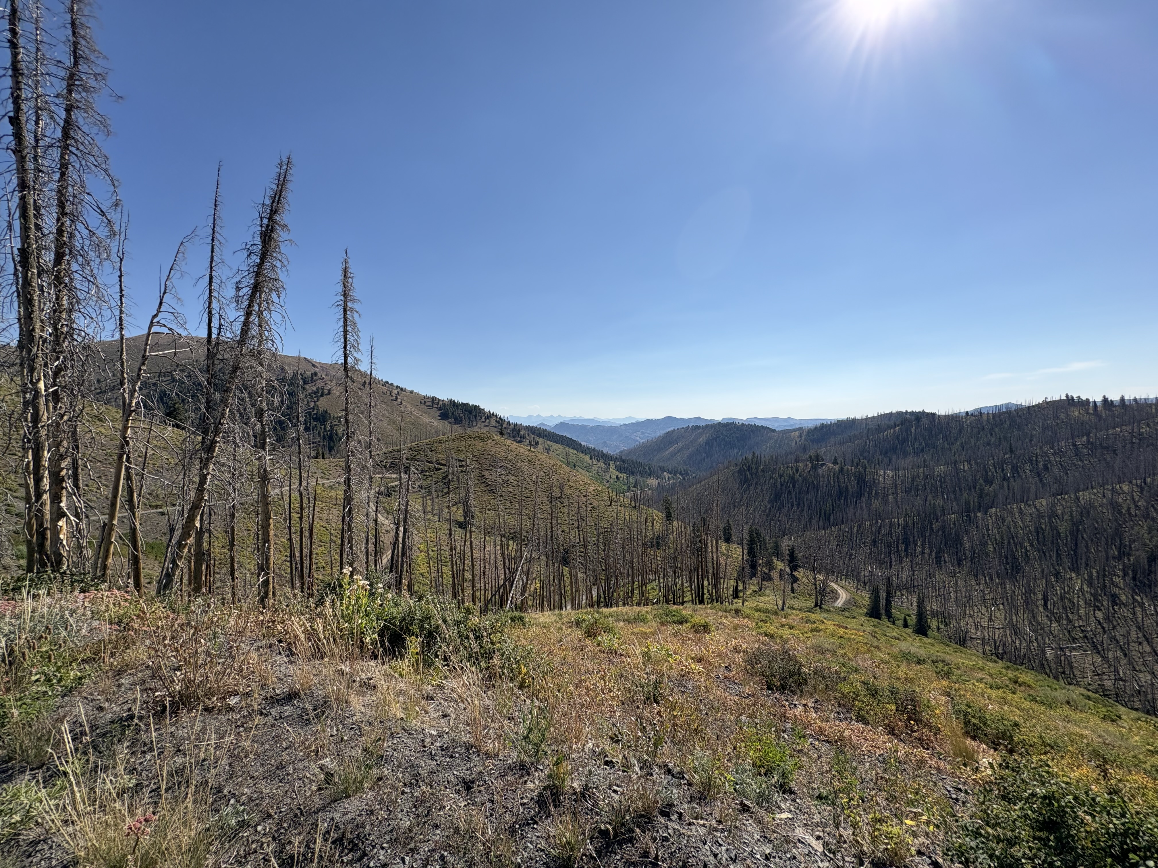 Still climbing
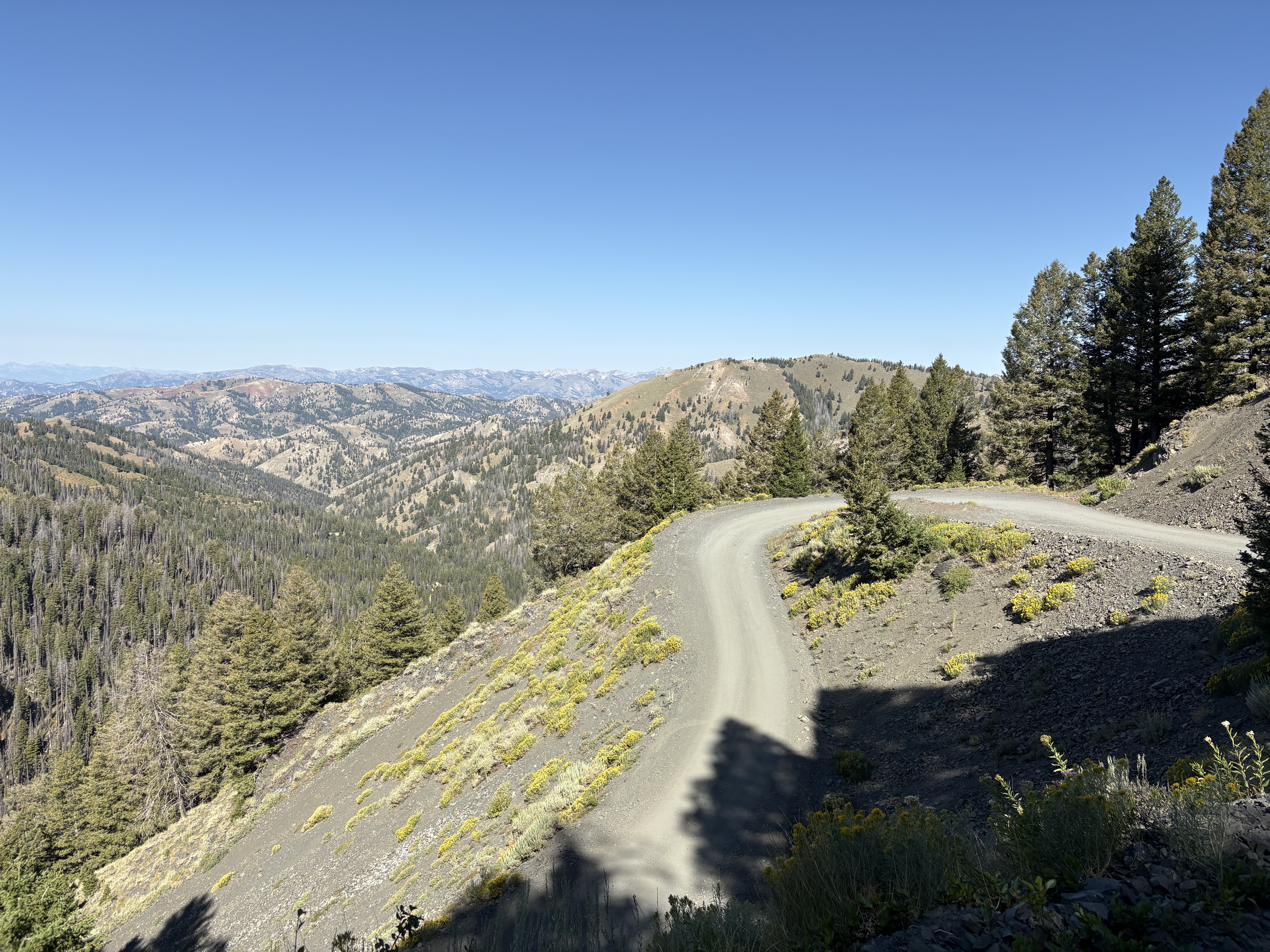 Over the top and heading down
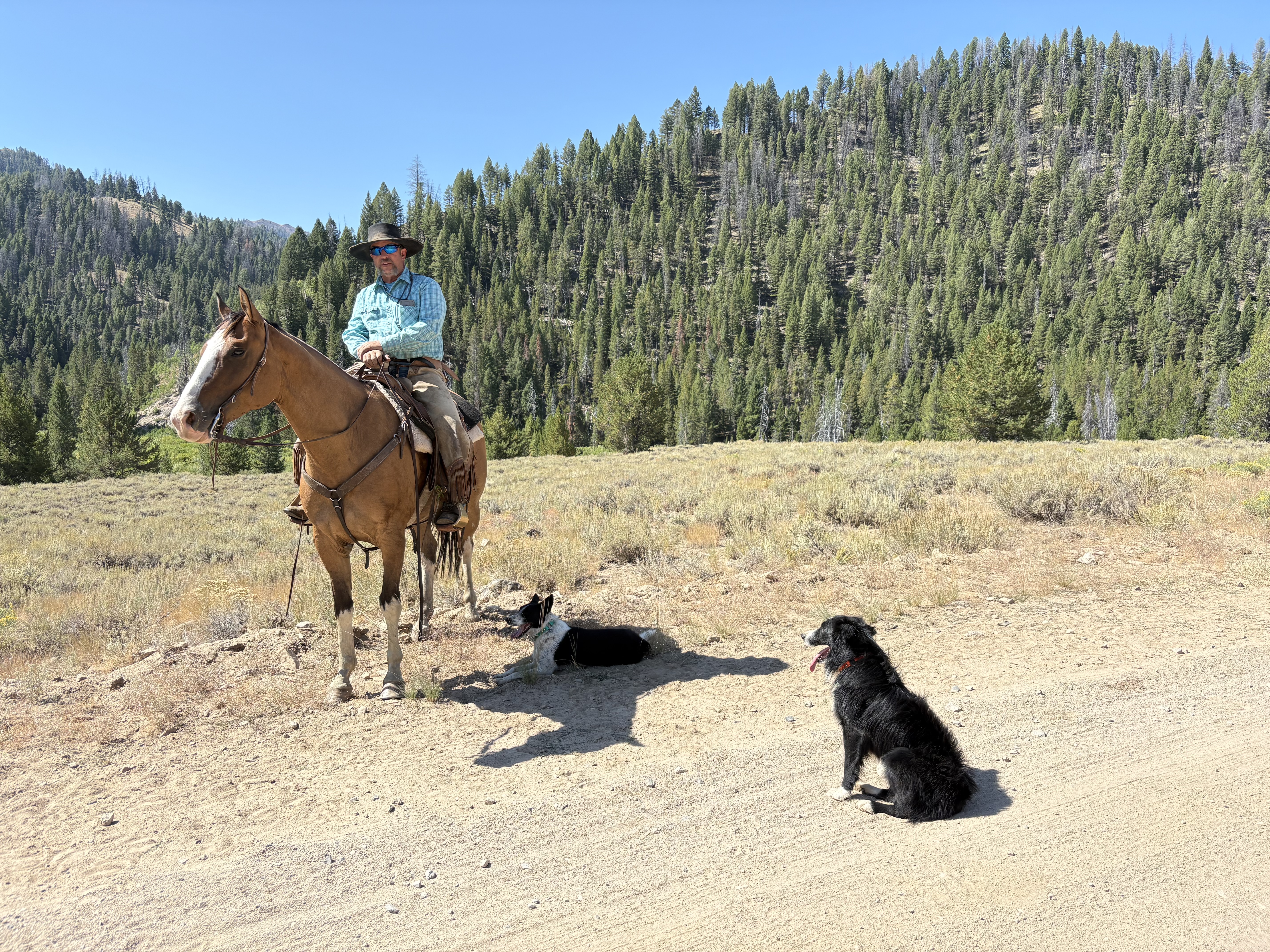 Cowboy
 Worswick Hot Springs
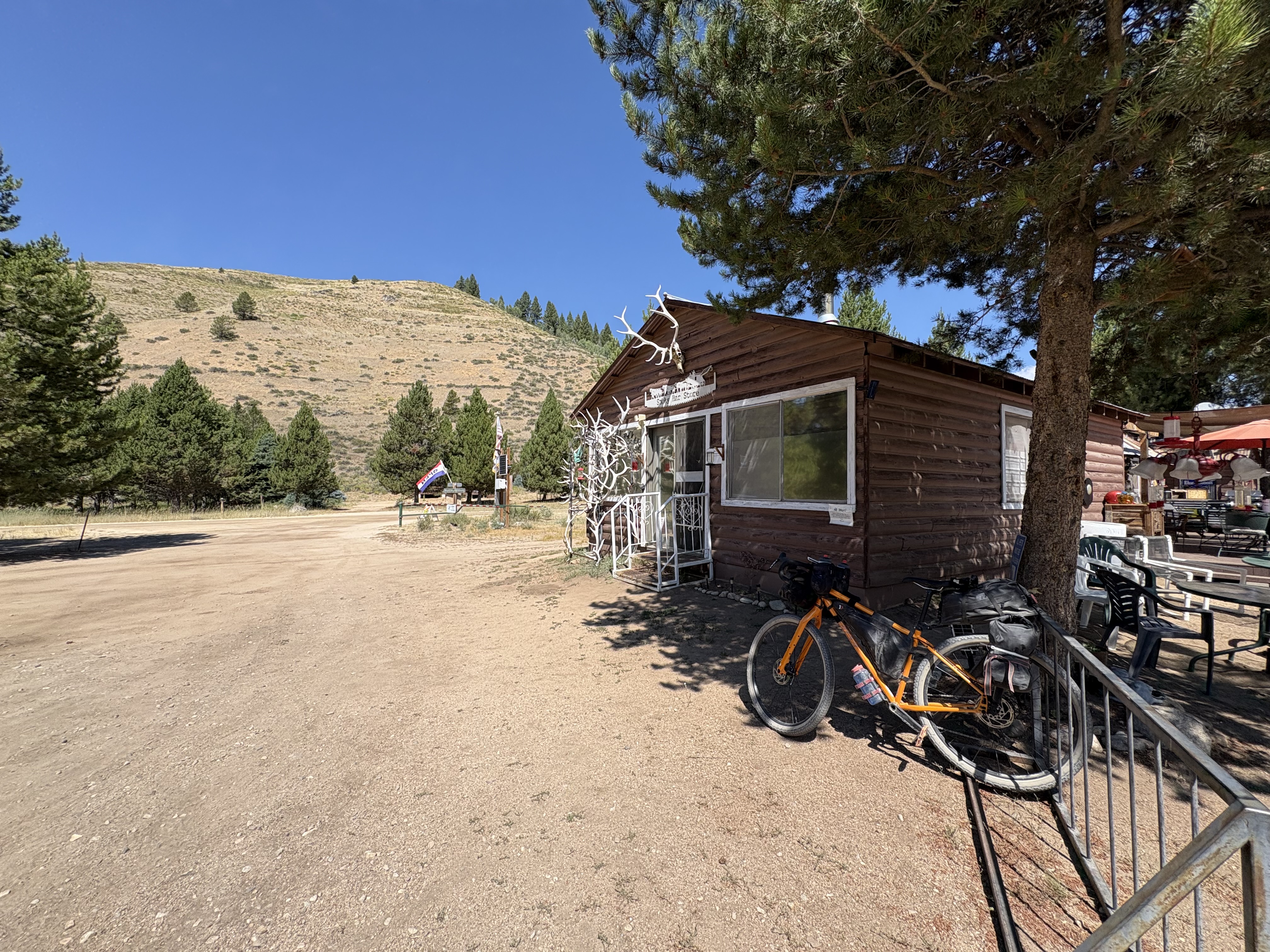 The bikepacker-friendly Smokey Bar
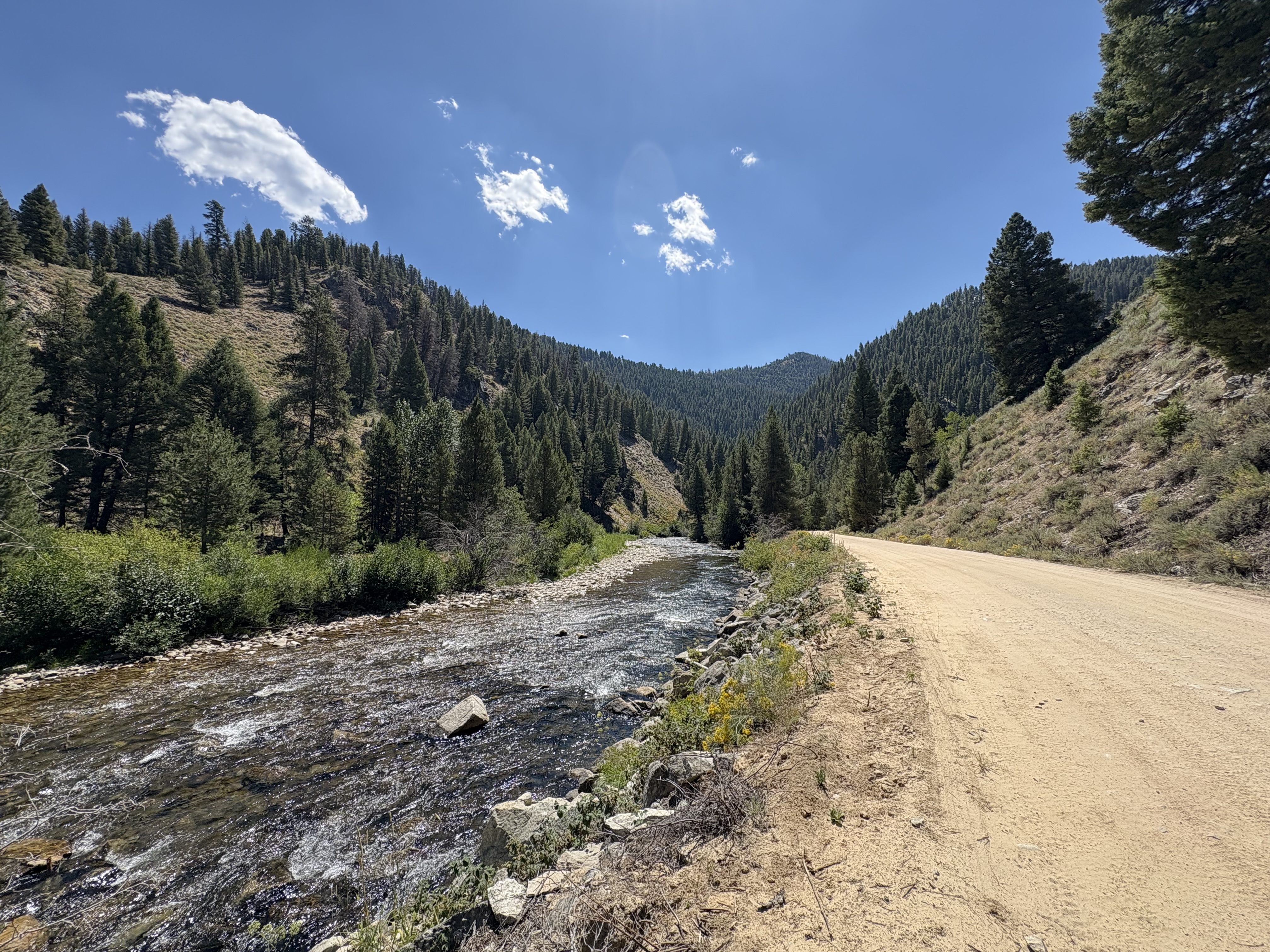 Big Smokey Creek
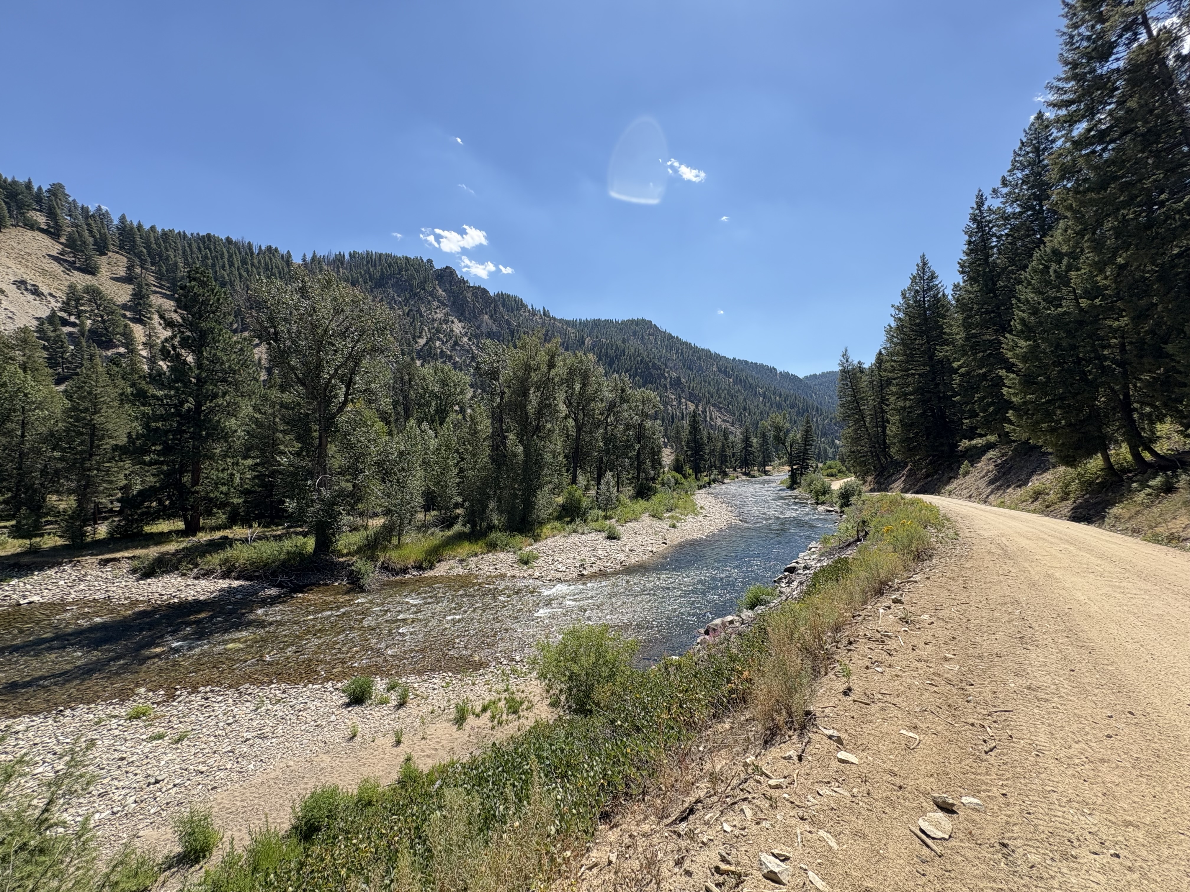 South Fork Boise River
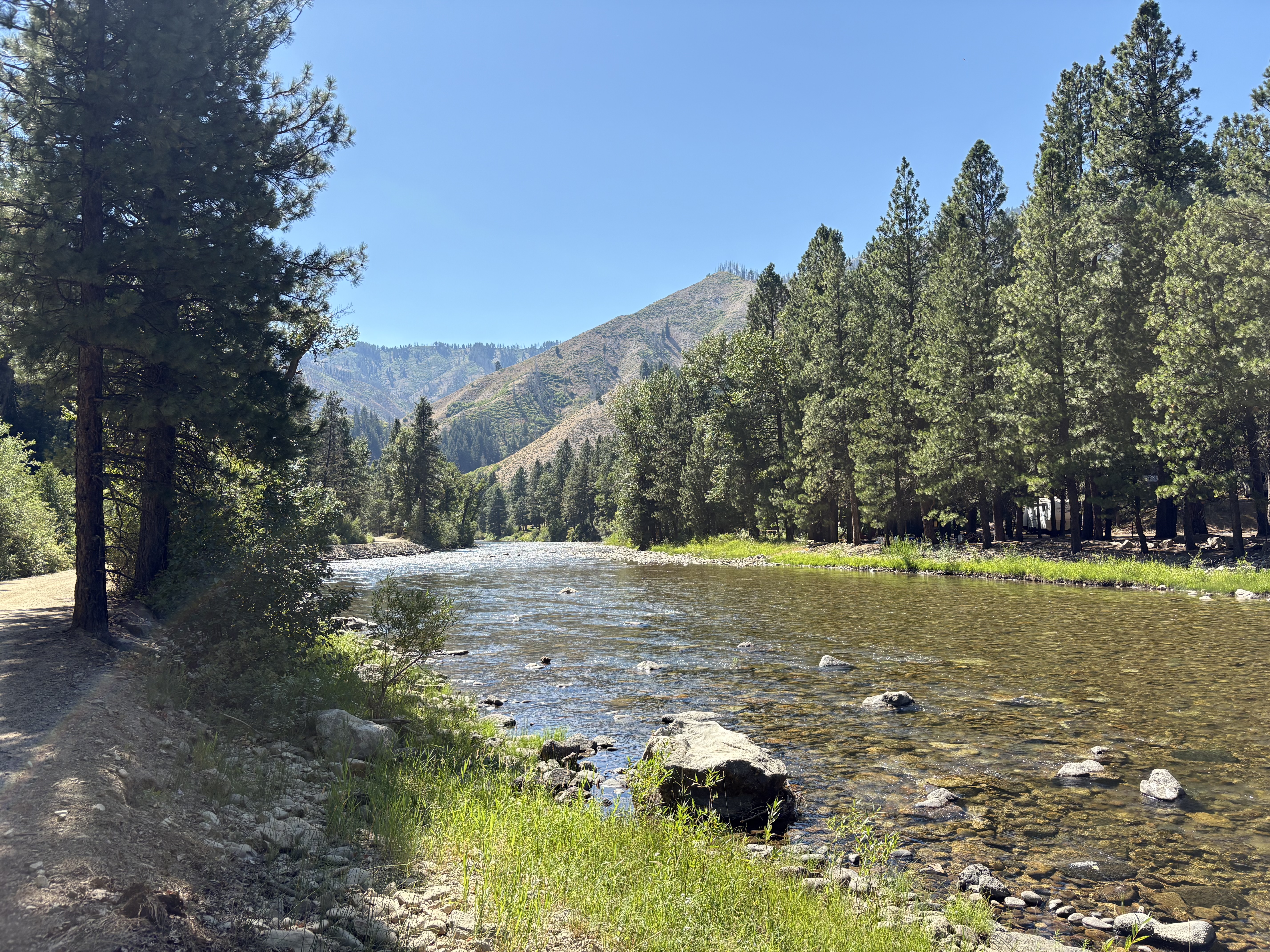 South Fork Boise River just north of Pine
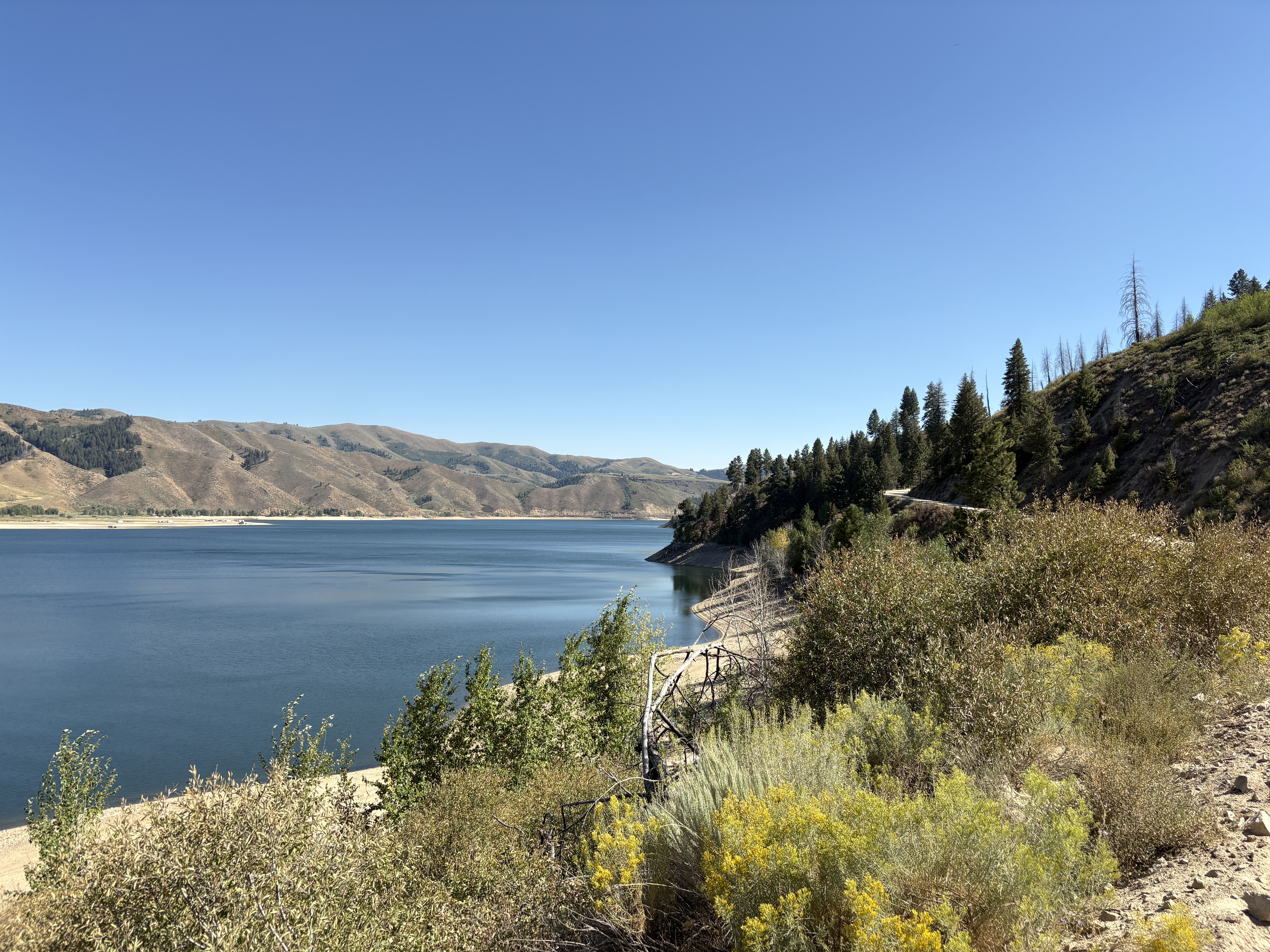 Anderson Ranch Reservoir
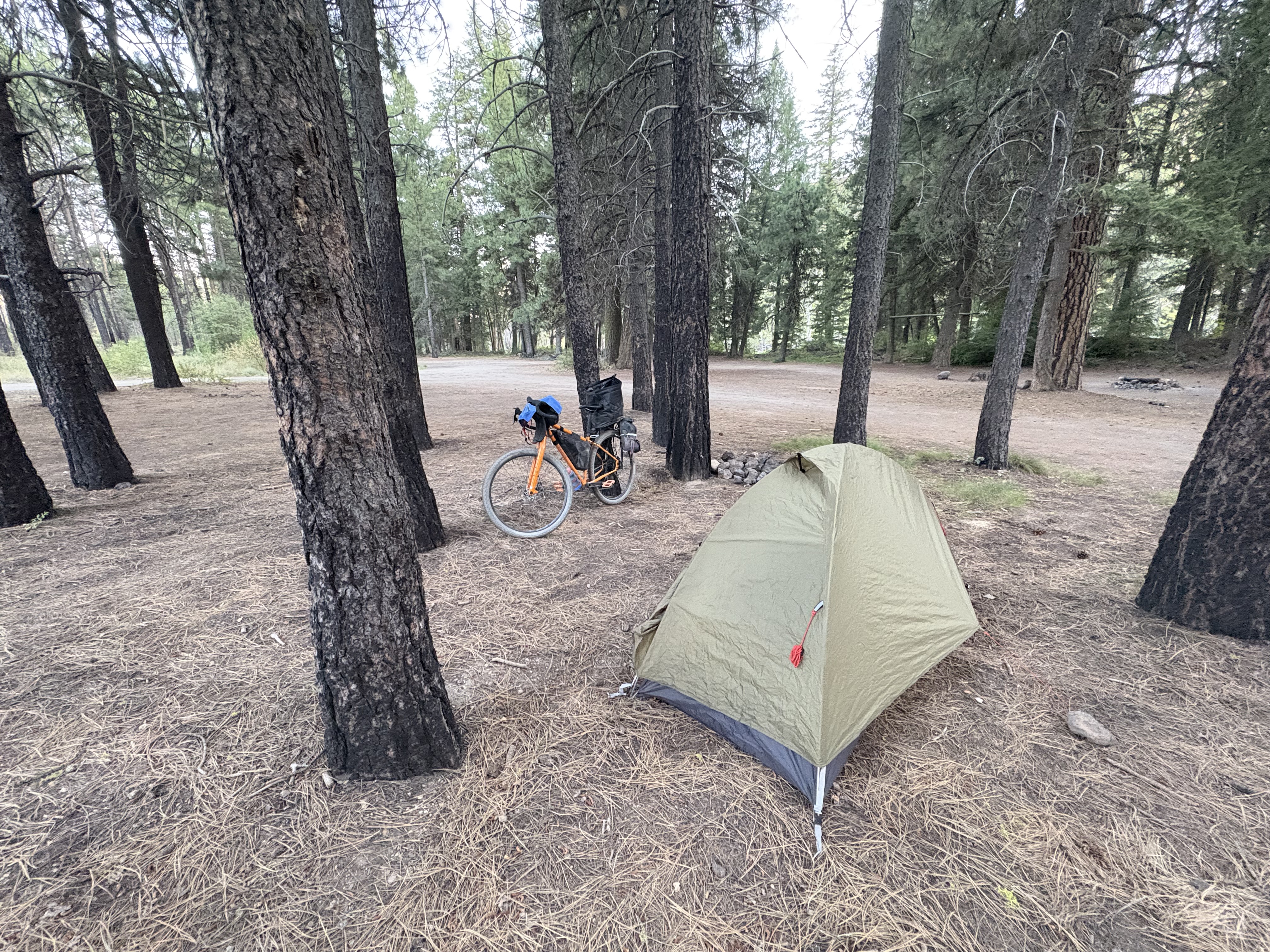 Home for the night at Ice Springs Campground