Bikepacking - SnF reverse day 2
bikepacking
Day 2: Stanley to Ketchum
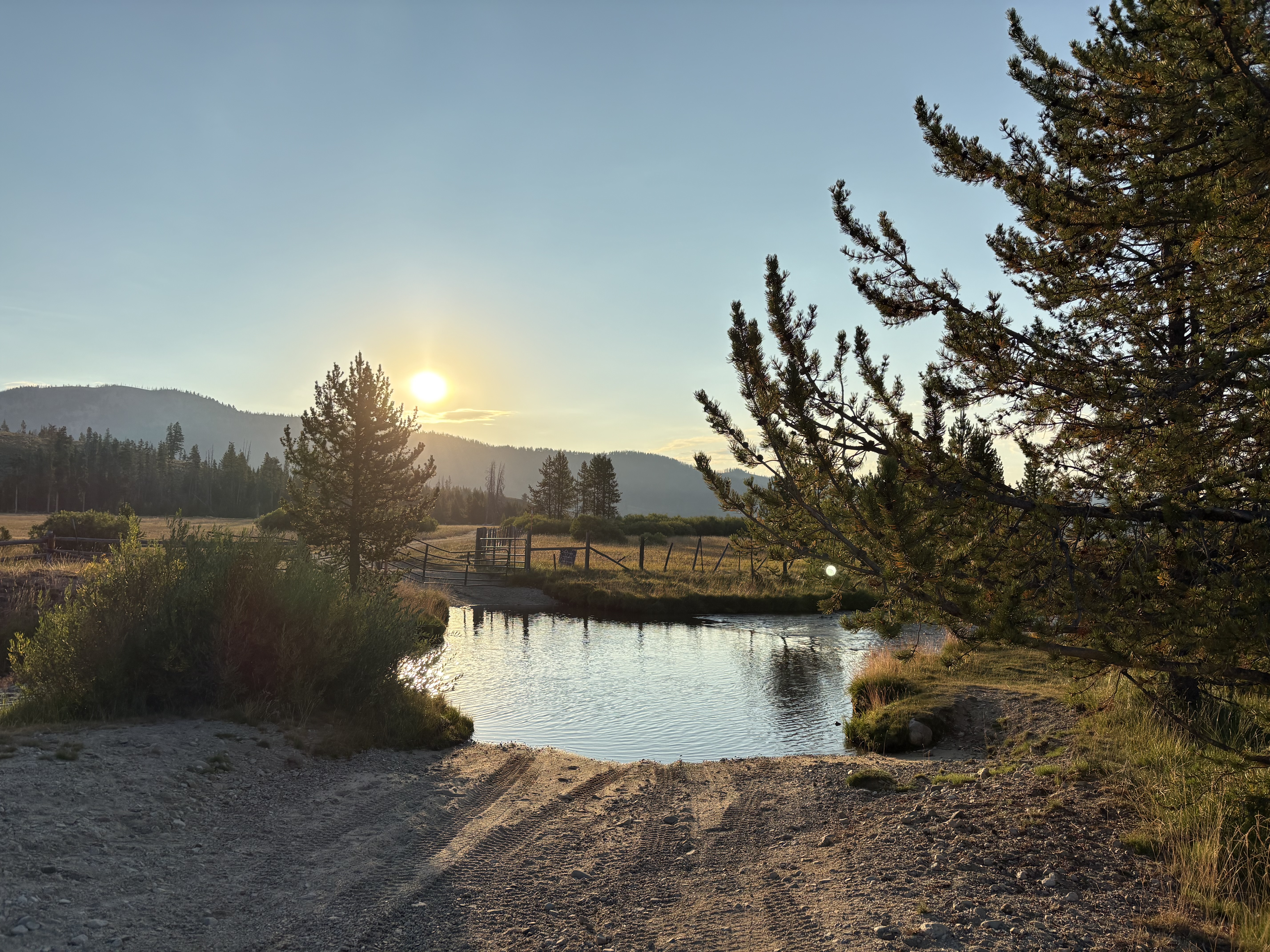
It rained a bit during the night, but I don’t think it really amounted to much as my tent and bike were basically dry in the morning. I didn’t sleep great, but that’s pretty normal after a tough day of riding and then camping solo. I went through my normal morning routine and was riding a little after 7:00. I quickly hit a problem on FSR 682 about a mile from the campground. The road was underwater and there was a gate on the other side so even if I could get across the deep water section I’m not sure I could have gotten past the gate. I decided to turn around and just blast all the way into Stanley on Highway 21, avoiding the Nip and Tuck/Lower Stanley part altogether. That would have probably added an hour or two to my day and it was already going to be a long one. I was bummed to not be able to ride that, but I had to make some choices.
I think it was around 10 miles before I got to Stanley so it was a little farther than I had thought. It was really nice riding on the highway, though. Barely any cars that early in the morning, a decent shoulder, and mostly downhill so I made good time.
I got some snacks at the gas station and went to Pioneer Park to get on the Stanley-Redfish trail. There was a little bakery/cafe right near the park; had I known that I would have stopped there for some food (and coffee!) rather than at the gas station.
The airport is right where the trail starts and it was surprisingly busy. I think I saw seven planes land in the time it took me to find the trail and take a few pictures.
As for the trail itself, it was really nice – so much better than having to ride on the highway. It ended at Redfish Lake Road right by Chinook Bay Campground. I crossed that and got on Decker Flat Road, which was also a cool little road that paralleled the highway. It was steep and rocky in places, but better than the highway. The first 3/4 was wooded, but then it opened up a bit toward the end where I crossed the Salmon River and Highway 21 and got on Valley Road, which I had remembered vividly from when Heidi and I rode it in 2018. I think it was a brutal 12 miles to the Highway 75 crossing. Lots of ups and downs on an OK road. But wide open and getting hot. Not my favorite part of the day, for sure.
The route/Garmin was a little messed up the last two miles before the highway. I was supposed to hang a left, but the road wasn’t where my GPS was telling me it should be. I had to backtrack and take a different road/trail, but it ended up working out. If I do this again I need to revisit this area and make sure I know where I’m going.
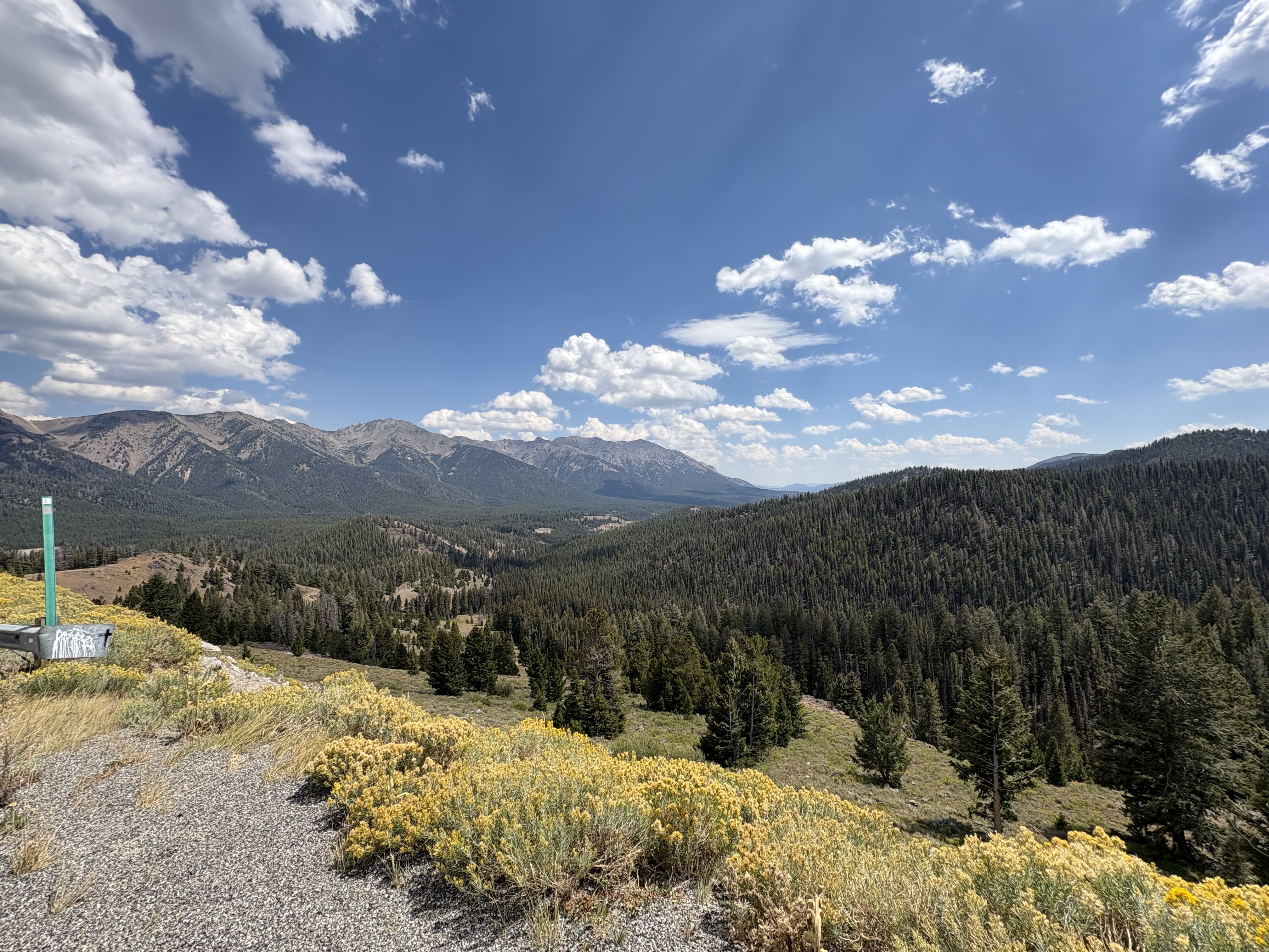
I crossed the highway and started the climb up to Galena Summit. I think the official climb on my Garmin was around 4.8 miles and 1,300 feet of gain. While the climb wasn’t as brutal as I thought it was going to be, it was still tough. It topped out around 8,700 feet so you could definitely feel the elevation. In the interest of time/safety I rode the highway down rather than the Titus Lake singletrack. I got some much-needed water at Galena Lodge and rested for a couple minutes before hopping on the Harriman Trail. (I wish I would have gotten a big salad at the lodge and skipped the greasy Pad Thai I got in Ketchum.)
I rode the Harriman as far as I could then got on the highway and rode into Ketchum. The highway has a really wide shoulder so I felt really comfortable doing that. A few miles from town there’s a really nice paved path that takes you into town. I scouted out a Thai place and went there for some Pad Thai. It wasn’t that great, but I was so hungry that anything would have tasted good. I picked up a Gatorade at a gas station afterwards and made my way to Warm Springs Road, which was where I was going to try to find a place to camp.
There are quite a few dispersed spots on Warm Springs Road, but unfortunately most of them are geared towards vehicle camping. So, not great for tents. The farther you get from town the better the spots are. I think the place I ended up at was around five or six miles out of Ketchum. There was a creek nearby, but it was a bit of a walk, which wasn’t ideal, but was better than nothing. And the site was basically just a dirt spot with no table or anything so keeping stuff clean and organized was a little challenging. But I was able to get cleaned up pretty well in the creek and since I had already eaten I didn’t have to prepare any food. I got settled into my tent and tried to get a good night sleep, which of course didn’t really happen. hahaha
- Distance: 89.1 miles
- Climbing: 5200 feet
- Highest point: 8714 feet
 Not motivated enough to cross that

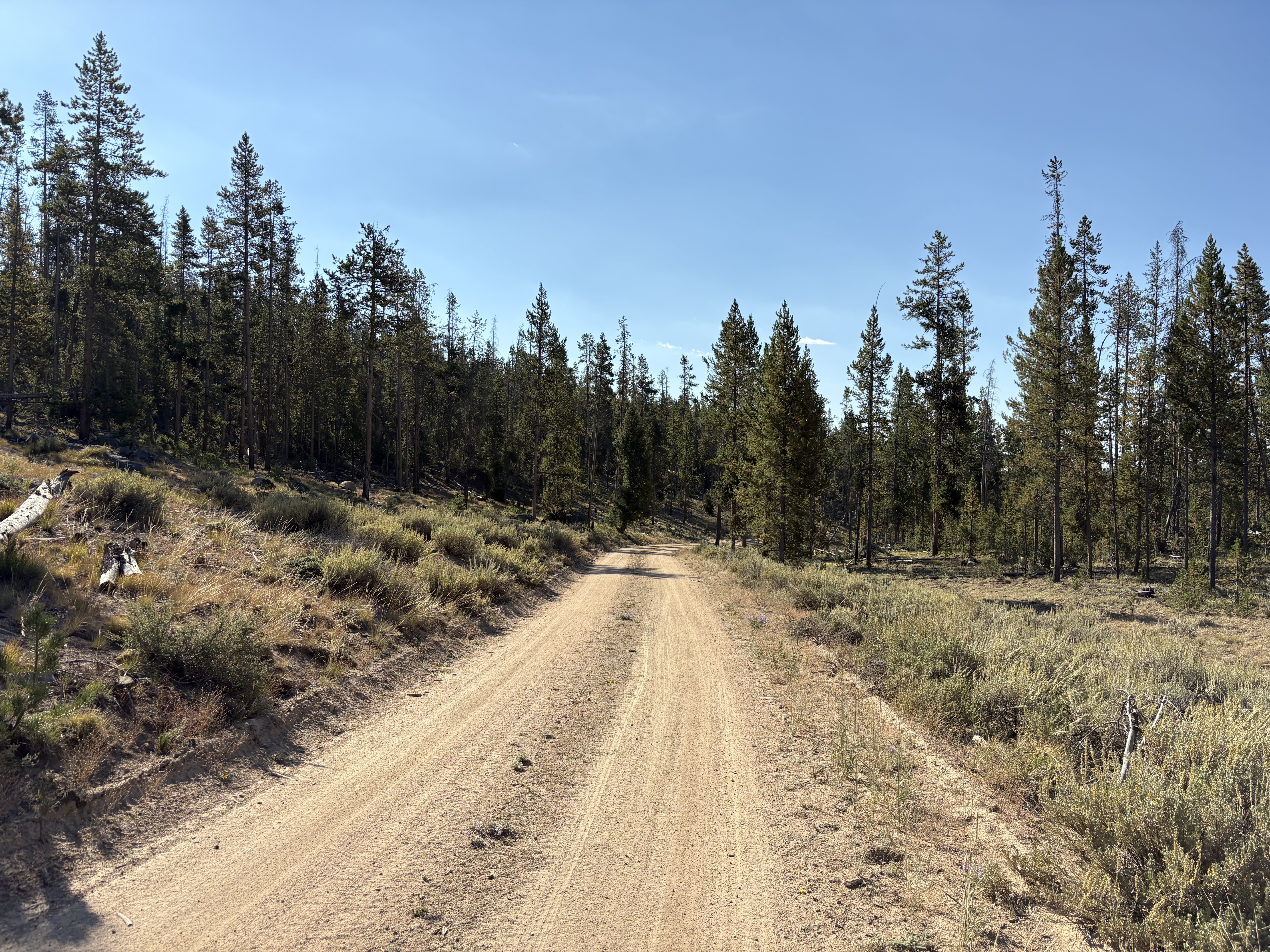 Decker Flat Road
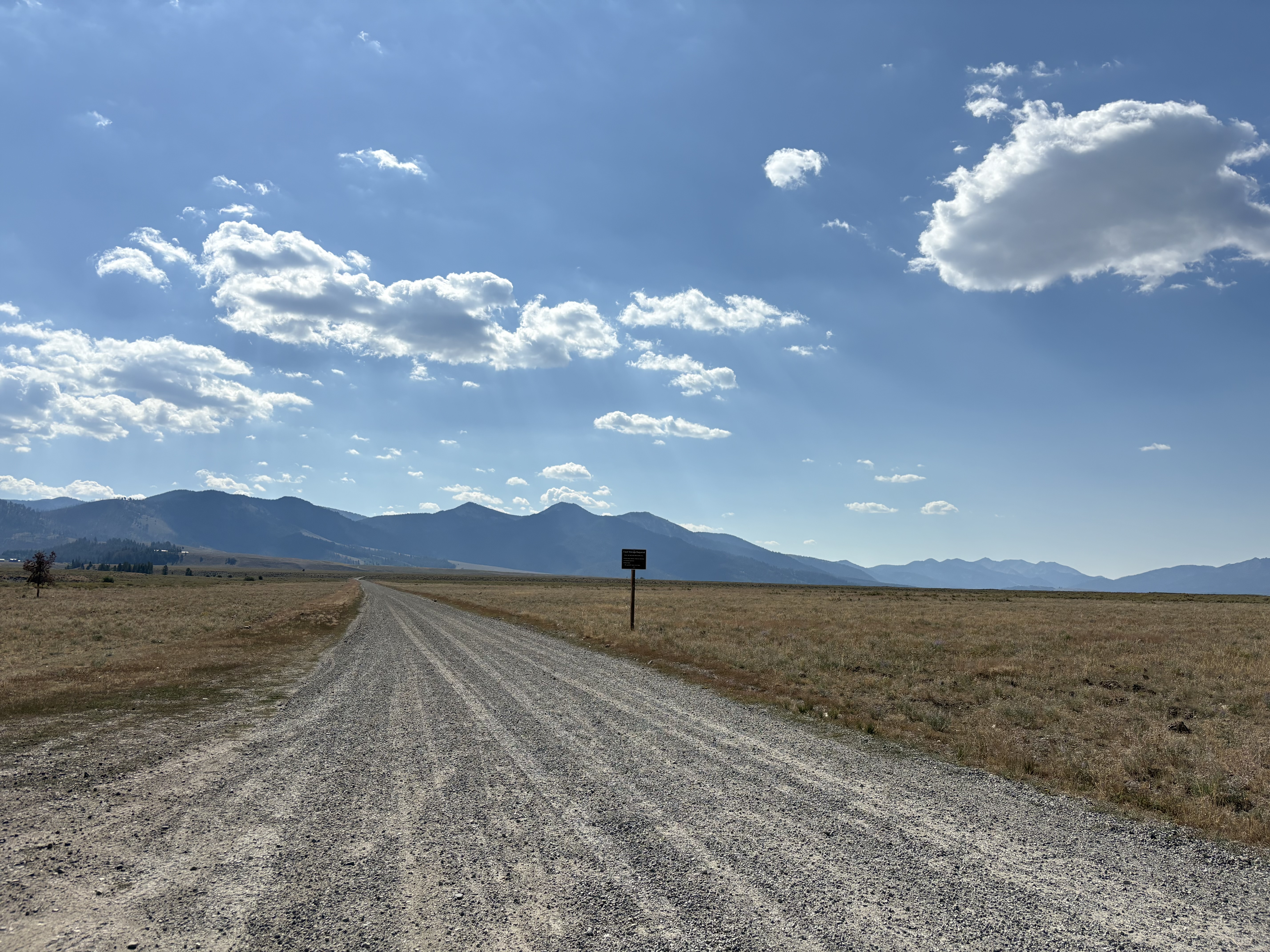 Valley Road. Ugh.
 More Valley Road
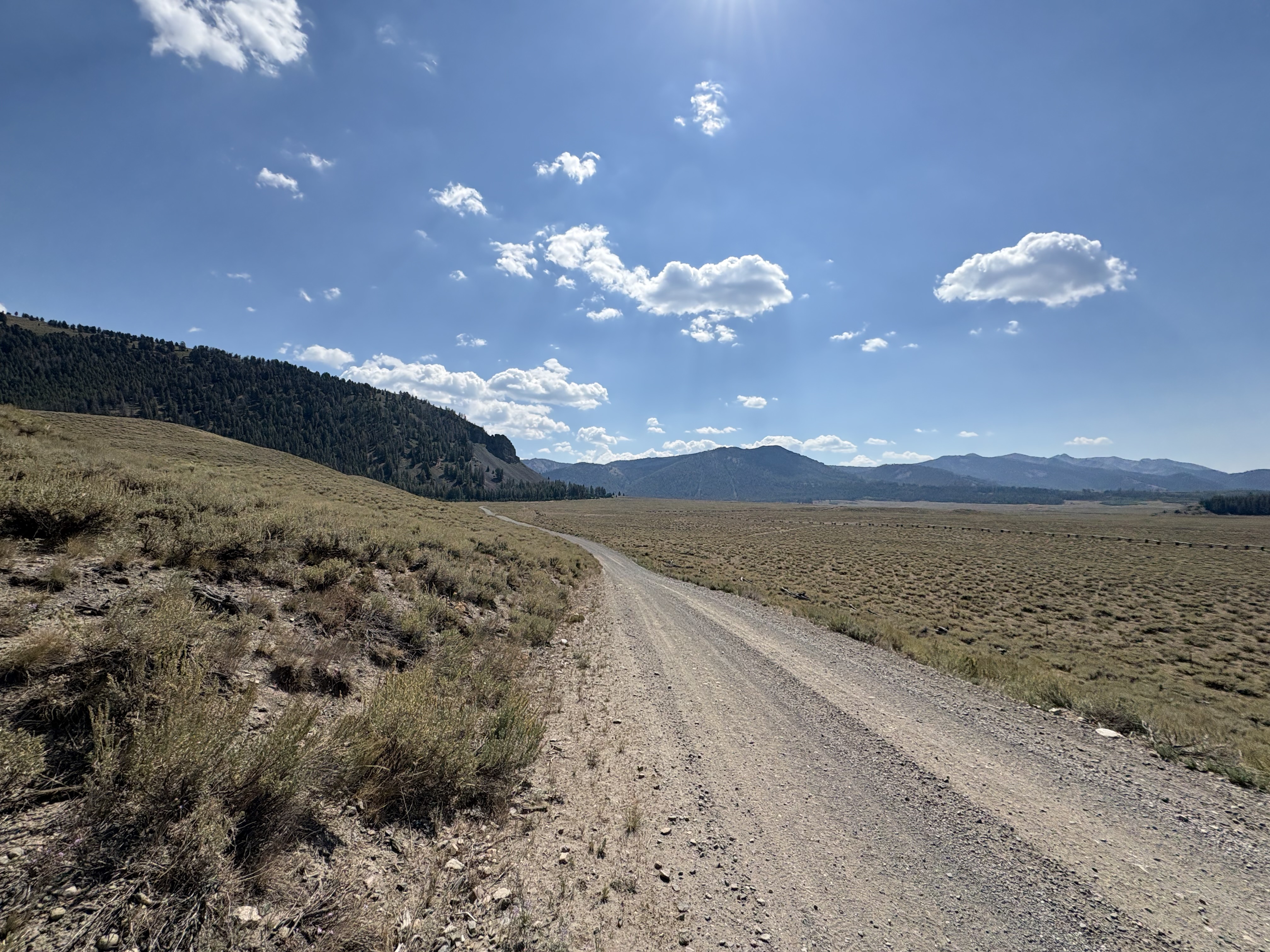
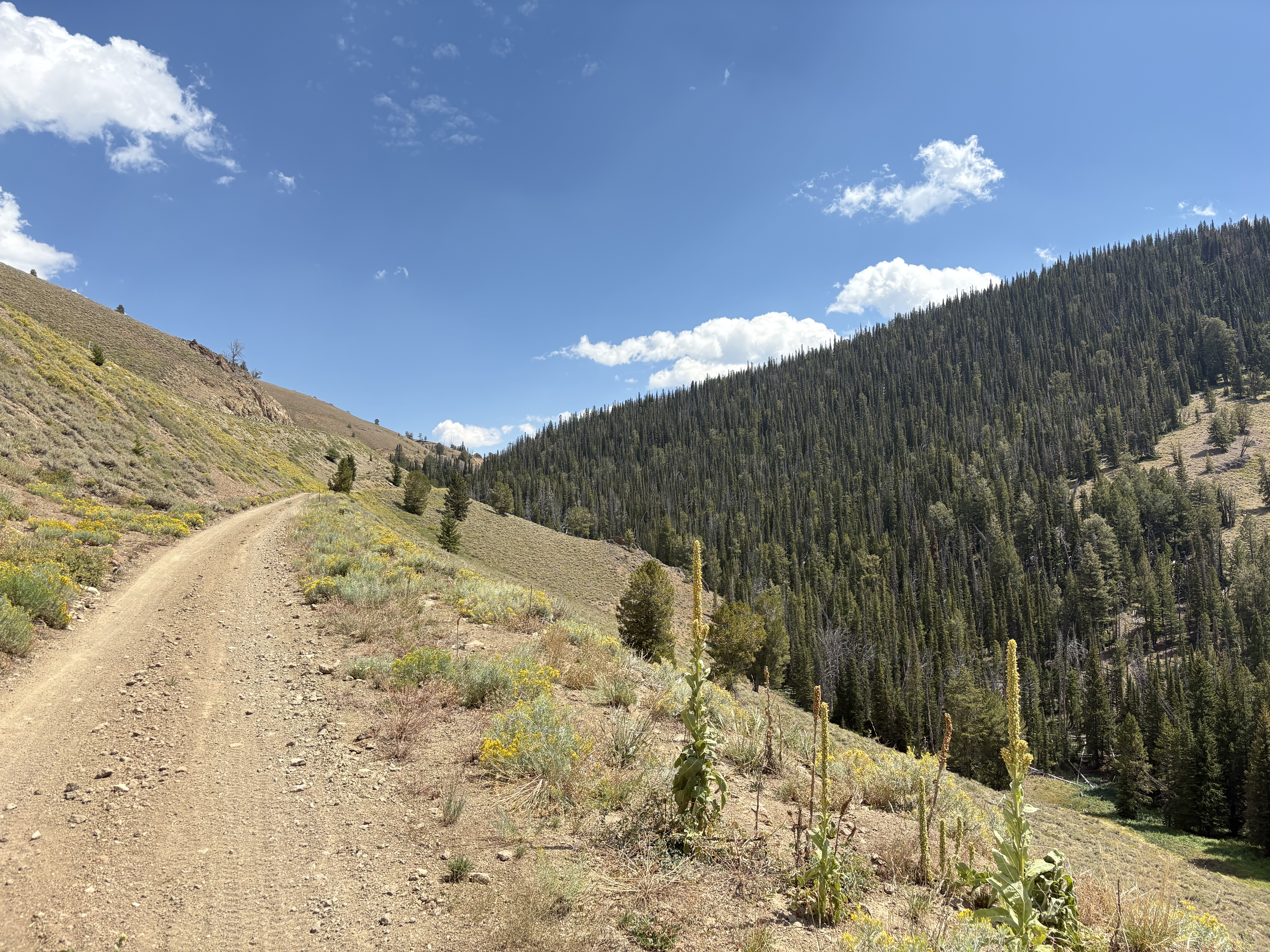 Climbing up to Galena Summit
 Climbing up to Galena Summit
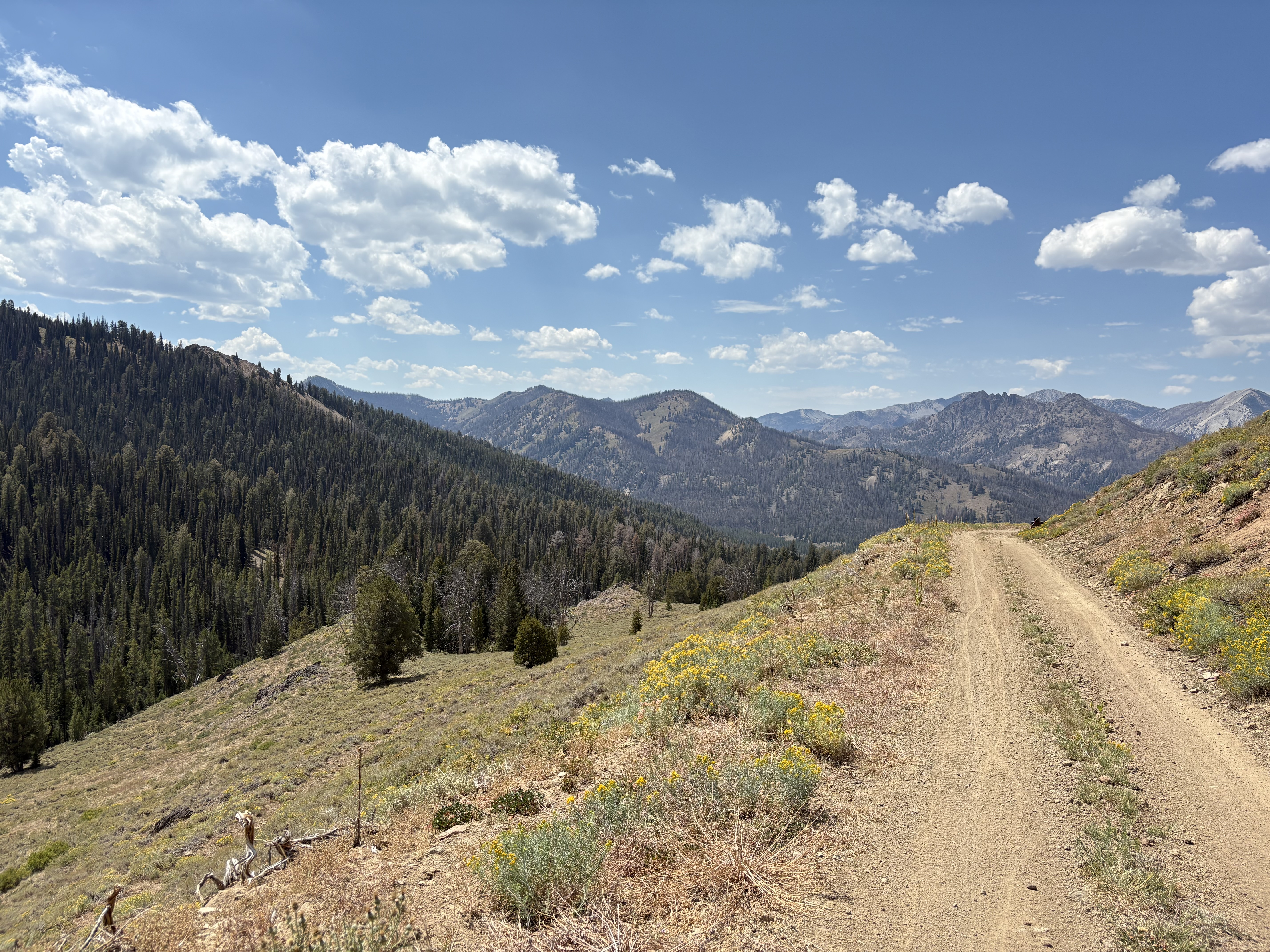
 View over the top of Galena Summit
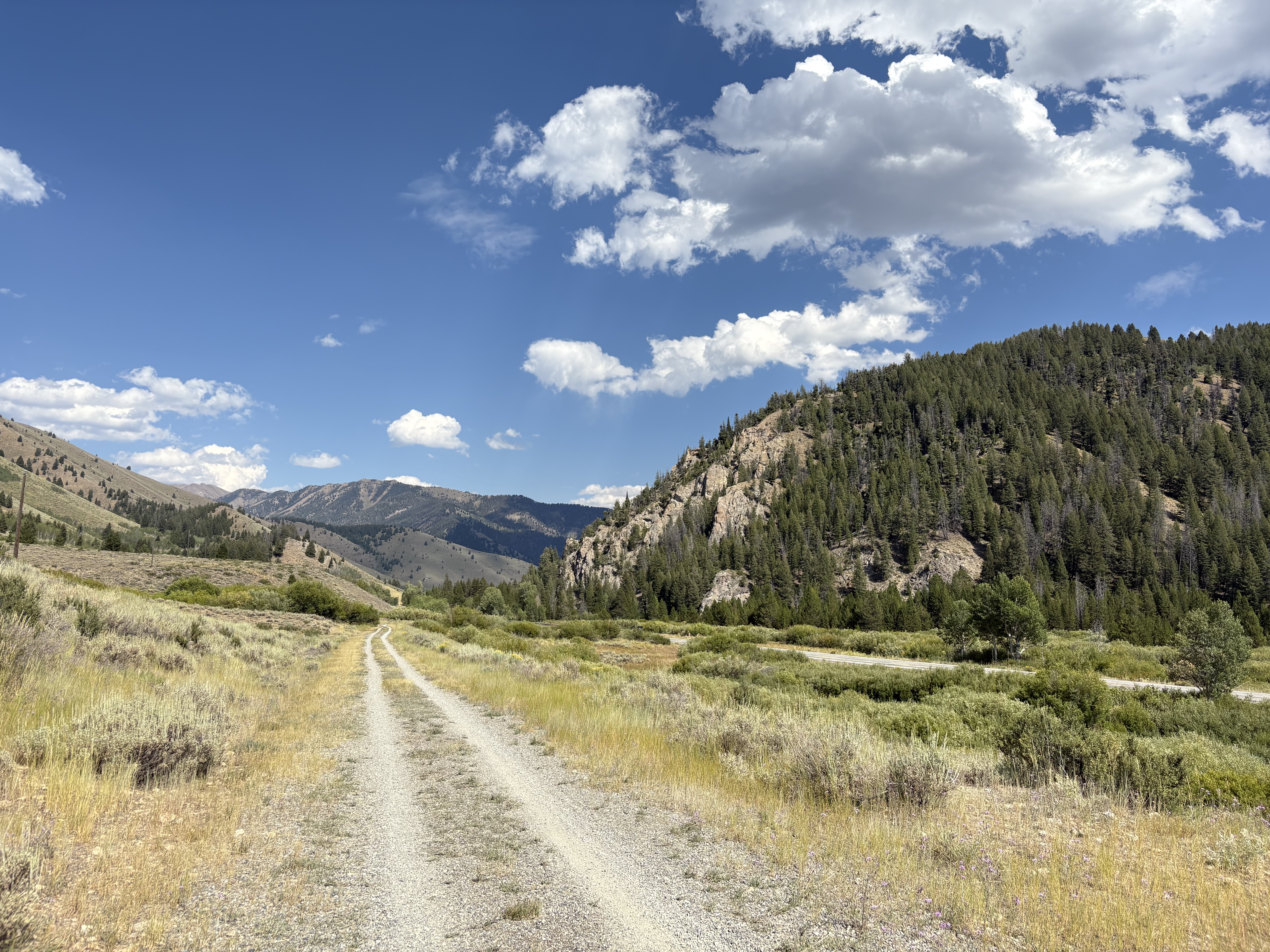 Harriman Trail
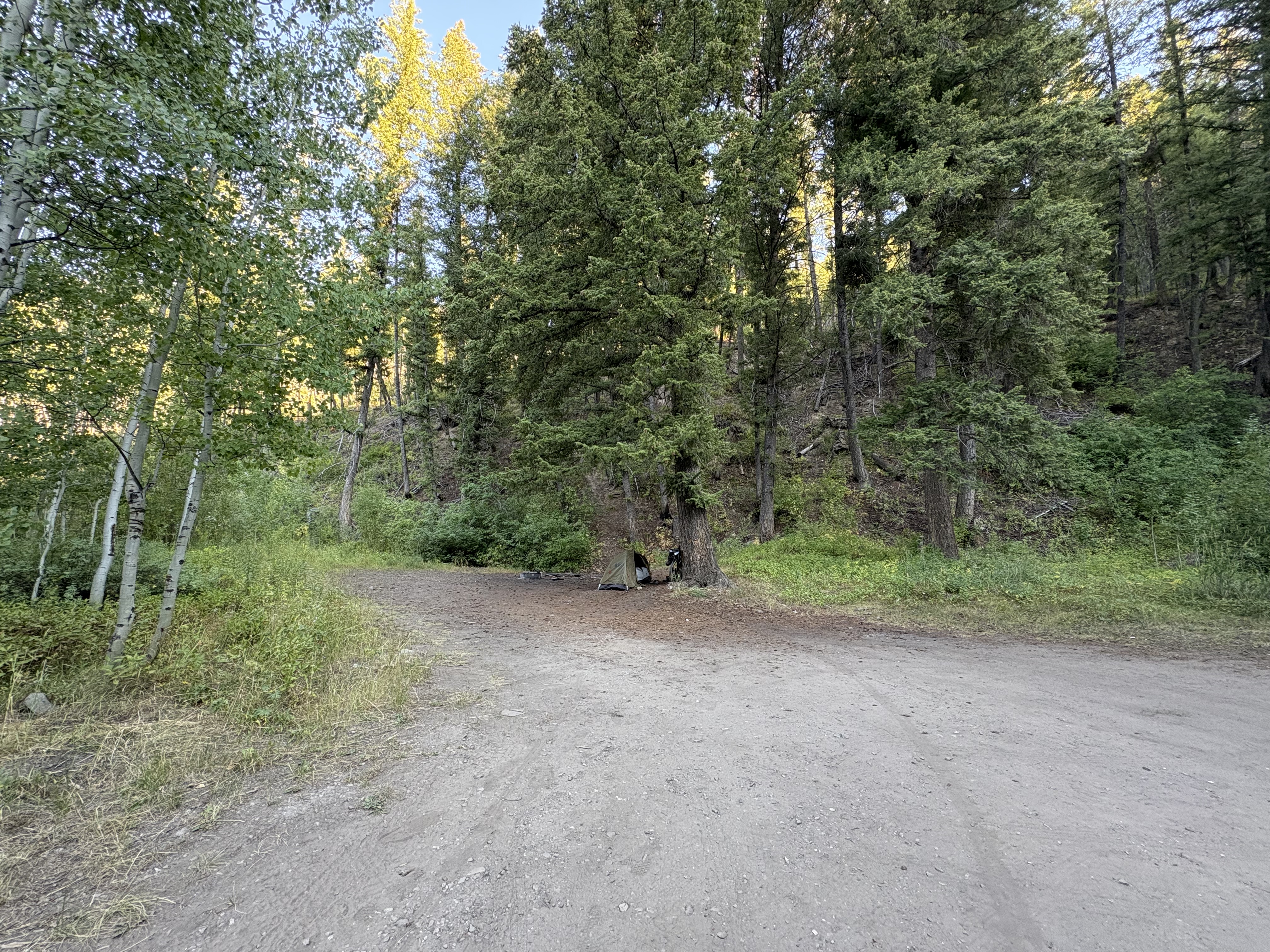 Dispersed camp spot outside Ketchum